Launching - New Basemap on the Landgrid Platform!
By Matthew Klovski on February 7, 2020 · Announcements
We’ve recently updated our basemap here at LandGrid and it’s a pretty big change from what we had online before!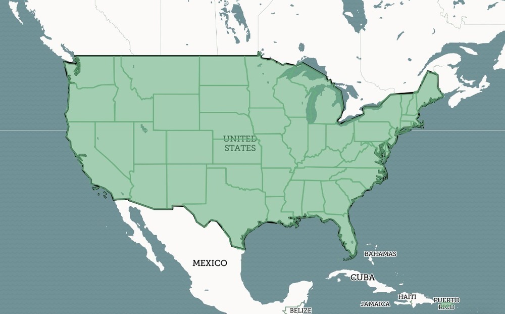
Let’s take a dig through some of the different changes we’ve made to help improve your LandGrid experience.
The most noticeable change is that we now have a lighter base color, to improve parcel legibility, as well as making it easier to see at the state level what places are online or not online. This was one of the main bits of feedback we received on our previous basemap, and we’re happy to report we think this really improves the visibility in general. We’ve also improved the city hierarchy on the map to provide a bit more legibility in terms of population size, and also by which cities are shown at different zoom levels.
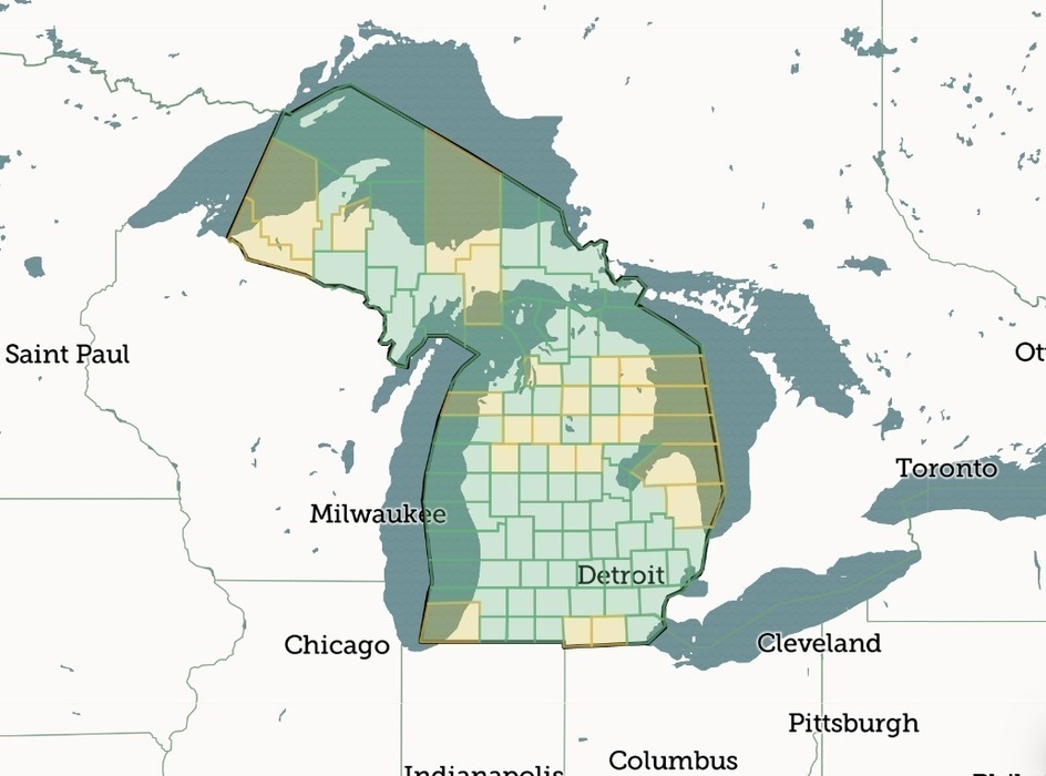
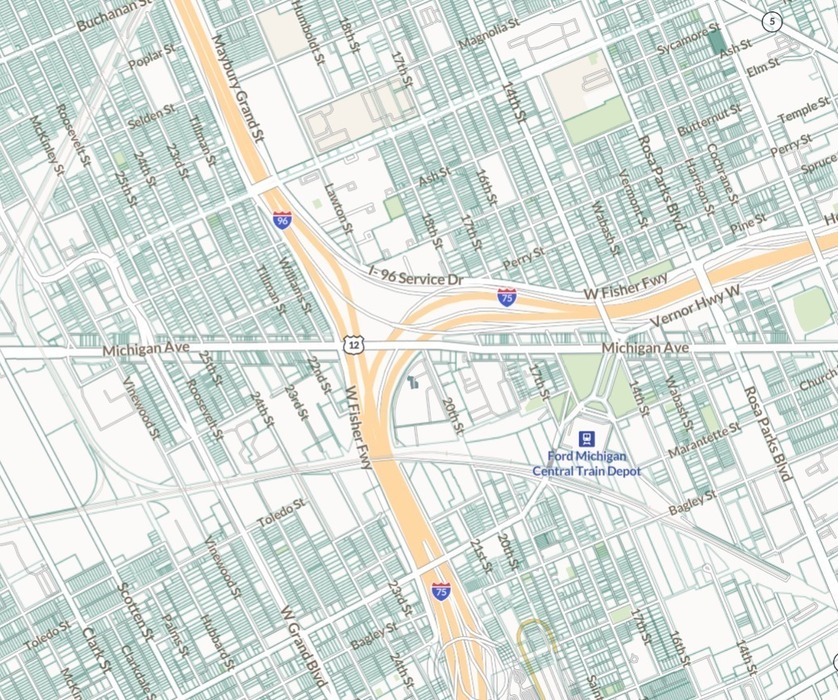
We’ve also changed the color coding of underlying land uses to subtler hues, especially in areas where there’s public lands or forests underneath the parcels. Here’s a side by side example of the same area within Midtown Detroit, using the old and new basemaps.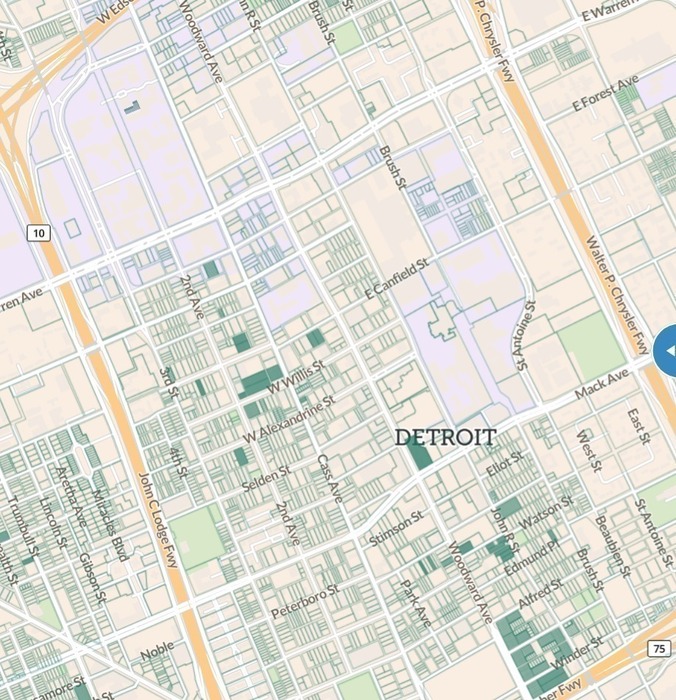
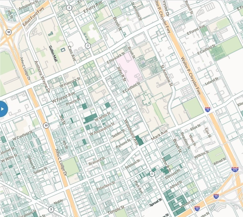
We’ve also updated the base streets layer provided by Mapbox in our map, in order to provide more up to date street names and layouts, in order to keep pace with rapid development in some areas. We’ve also changed the way we visualize highway and expressway icons, and now use the official icons for these types of roads. You can see the difference in these two screenshots from the catch-all boxes we had before.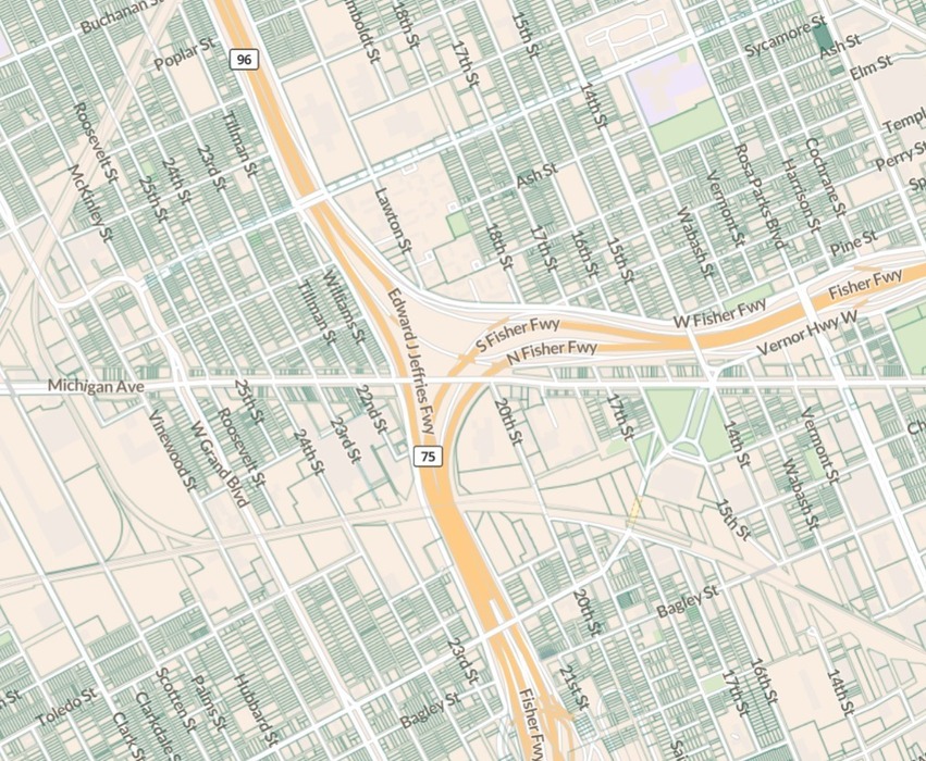
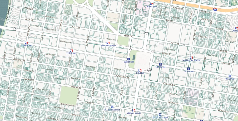
The final big change, and a really exciting one personally, is much better transit wayfinding and icon placement on the map. This includes custom transit icons in certain cities, and better airport icon indicators. Below is an example, using Center City Philadelphia and various SEPTA and trolley stops.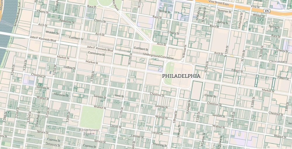
We hope you enjoy the new and improved basemap, happy mapping!
Matthew Klovski

