


The New Landgrid Tileserver, API limits and Much More!
By Sahana Murthy on July 9, 2020 · Announcements
Hope you all had a nice, long 4th of July weekend.
We are back with some updates for you on this hot summer day!
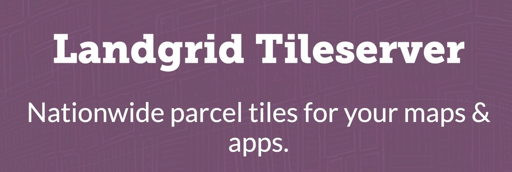
1. Launching the Landgrid Tileserver: Make beautiful maps with our raster & vector tiles.
Use our raster (PNG) and vector (MVT) tiles to show parcel boundaries on your Leaflet, Mapbox, or ESRI baselayer. Our tiles come with parcel polygons and the identifiers you need to look up additional details with our search API.
This is the same service we use across our platform and mobile apps, ready for use at scale in your tools. We keep it up-to-date with the latest parcel updates so your clients always see the freshest data.
If you are interested in using our Tileserver, please email us at parcels@landgrid.com and we can set you up in no time.
You can learn about the pricing tiers and limits for our tileserver here -
https://landgrid.com/tiles
We will soon make this a self-serve subscription so you pick & choose the tier you want and sign up for it and get instant access to our tiles. 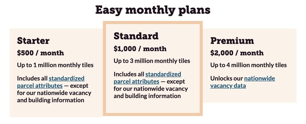
2. API usage limits:
We are introducing new limits on the API tiers, based more on the output than number of requests. We didn’t want to limit API calls or requests for our customers. However, we do have generous output limits now in place for the three API tiers as shown below.
https://landgrid.com/parcel-api
3. Updated Parcels page:
We recently gave our parcel bulk data page a little spruce up. It was due for an update. You know why??? Because our parcel data has gotten bigger, better, and robust in the past year as you may have noticed from our monthly data stats and updates. :)
Check it out - https://landgrid.com/parcels
We want to showcase more of our customers on this page. Let us know if you are interested in telling your Landgrid data story by emailing us at team@landgrid.com.
We want to celebrate your work , product & project.
4. Podcasts and webcasts:
If you have been following us and our content, then you probably know that we have been pretty busy making interesting videos, webcasts and featured podcasts. Here’s the list of some of our most recent podcasts:
1. Polygons of Ownership - The Mapscaping Podcast
Mapscaping recently featured our CEO - Jerry Paffendorf on their podcast where they discussed parcel data and how our land is divided and sub-divided into polygons.
Catch the full podcast and interview here - https://mapscaping.com/blogs/the-mapscaping-podcast/polygons-of-ownership
Android - https://buff.ly/2O3kuH5
Apple: https://buff.ly/2X6nMNW
Spotify: https://buff.ly/2X7Ym2k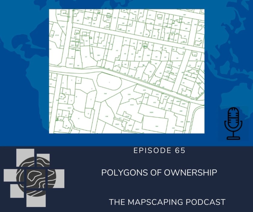
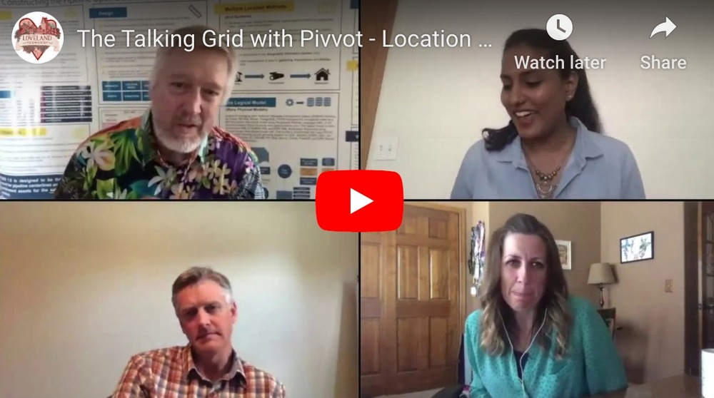
2. The Talking Grid with Pivvot - Location with Context
We recently hosted the the amazing team of Pivvot on our webcast. Catch this fun conversation about Pivvot, data, data trends & COVID on our Youtube channel and website.
That was the July update folks.
Exciting things are coming soon this quarter, so stay tuned with us.
As always, please feel free to email us at team@landgrid.com if you have any questions or would like to discuss an idea with us. We are always available to chat.
Until next time, have a wonderful rest of your July.
Happy Mapping!